On December 10th, 2017, the Peta Bencana Foundation transformed a portion of the heavily traversed Sudirman-Thamrin road with an anamorphic street art installation, exclusively designed towards building resilience for the forthcoming monsoon season! Every Sunday morning in Jakarta, main roads in the center of the city are closed off to vehicles for the weekly Car Free Day event, making way for thousands of walkers, joggers, bikers, and skaters. Peta Bencana took this opportunity to launch a preparedness event for the 2017/2018 monsoon season; as passers-by stopped to take selfies with the street art installation, they were reminded to continue to share their selfies with PetaBencana.id during the monsoon season, and contribute to real-time community flood-mapping. PetaBencana.id gathers confirmed crowd-sourced reports about flooding from various social media channels and visualizes these on a free web-based map, so that everyone has the information they need to stay safe and avoid danger during flood events. This information is shared with emergency management agencies, who are also able to update the map with time-critical flood-related information, creating a transparent two-way communication channel for everyone in the city. The Jakarta Emergency Management Agency (BPBD DKI Jakarta) also took this opportunity to spread awareness about their disaster management programs to the Car Free Day visitors.
Peta Bencana at Institut Teknologi Sepuluh Nopember (ITS) Surabaya
Continuing a series of lecture events held in collaboration with universities across Indonesia, on November 28th, 2017, Peta Bencana visited the Institut Teknologi Sepuluh Nopember (ITS) Surabaya. At the Department of Urban and Regional Planning, part of the Faculty of Design, Architecture, and Planning, 75 students (24 male and 41 female) attended PetaBencana’s lecture on the use of open source software for climate adaptation. We were warmly welcomed by Bapak Adjie Pamungkas, ST.,M.Dev.Plg.,Ph.D, Head of the Department of Urban and Regional Planning, and Bapak Mochamad Yusuf, ST, M.Sc., professor of Urban and Regional Planning.
A screening of “The Same River Twice”, a documentary produced by PetaBencana that narrates the situation of Jakarta as a megacity struggling to adapt to climate change during the tropical monsoon season, prompted engaging conversations about information infrastructures for disaster events. Following an explanation of the development and use of PetaBencana.id within this context, students displayed optimism towards the platform and were excited to try the methods by which they could participate in crowdsourced disaster mapping through various social media channels and instant messaging applications. We were excited to see an enthusiastic uptake of the platform, as we continued to exchange ideas with students about the various ways by which PetaBencana.id, and the use of open source data, could be scaled and further optimized.
Peta Bencana at Paramadina University, Jakarta
As part of a series of lecture events held in collaboration with universities across Indonesia, Peta Bencana Foundation was excited to engage with the community at Paramadina University on November 22nd, 2017. The event was held in collaboration with the university’s Department of Student Development, and the student organizations, Khatulistiwa, and Paramadina Social Care (PSC).
The lecture, titled “Harnessing Social Media and Open Source Software as Infrastructure for Climate Change Adaptation” was opened by Leonita Kusumawardhani, professor of Communication Studies at Paramadina University, and attended by 36 students (10 male and 26 female).
The enthusiastic response displayed by the students led to productive conversations about the ways by which public platforms can support individual and collective decision making during disaster events. The students were especially enthusiastic to discuss methods of verification of crowd-sourced data, and how resident-conveyed information could be effectively employed by disaster managers for evidence-based response. Peta Bencana was happy to have such an engaged audience, and some great conversations at Paramadina University!
Peta Bencana Film on Peat Forests and Palm Oil playing at “Disappearing Legacies: The World as Forest” Exhibition
Indonesia is the world’s largest producer and exporter of palm oil. But, to meet rising global demand, Indonesia is creating vast palm oil plantations by clearing peatlands for production. Produced by PetaBencana.id, for the “Verschwindende Vermächtnisse: Die Welt als Wald [Disappearing Legacies: The World as Forest]” exhibition at the Zoologisches Museum, Centrum für Naturkunde, Universität Hamburg, this video explains the local impacts of peatland destruction as well as the importance of peatland ecologies for the Earth System and its climate.
Peta Bencana Foundation at the University of Tarumanagara

In preparedness for the 2017-2018 monsoon season, the Peta Bencana Foundation is launching a series of lecture events in collaboration with universities across Indonesia. On the 8th of November 2017, we kicked off this program at the Department of Urban Planning and Real Estate, Engineering Faculty, University of Tarumanagara, Jakarta.
The talk organized by Peta Bencana, “Using Social Media and Open Source Software as Infrastructure for Climate Change Adaptation”, was attended by 56 participants (27 male, 29 female). The head of the urban division from the Department of Urban Planning and Real Estate, Dr. Ir. Parino Rahardjo, M.M, warmly welcomed the foundation and opened the event.
In discussing the ways by which the public platform, PetaBencana.id, supports individual and collective decision making during disaster events, students expressed their enthusiasm, pulling out their phones and taking selfies to practice participating in community disaster mapping. Participants practiced submitting reports through social media (Twitter) and instant messaging (Telegram), and were immediately able to view their contributions on the map.
2017 Asia GeoSpatial Excellence Award
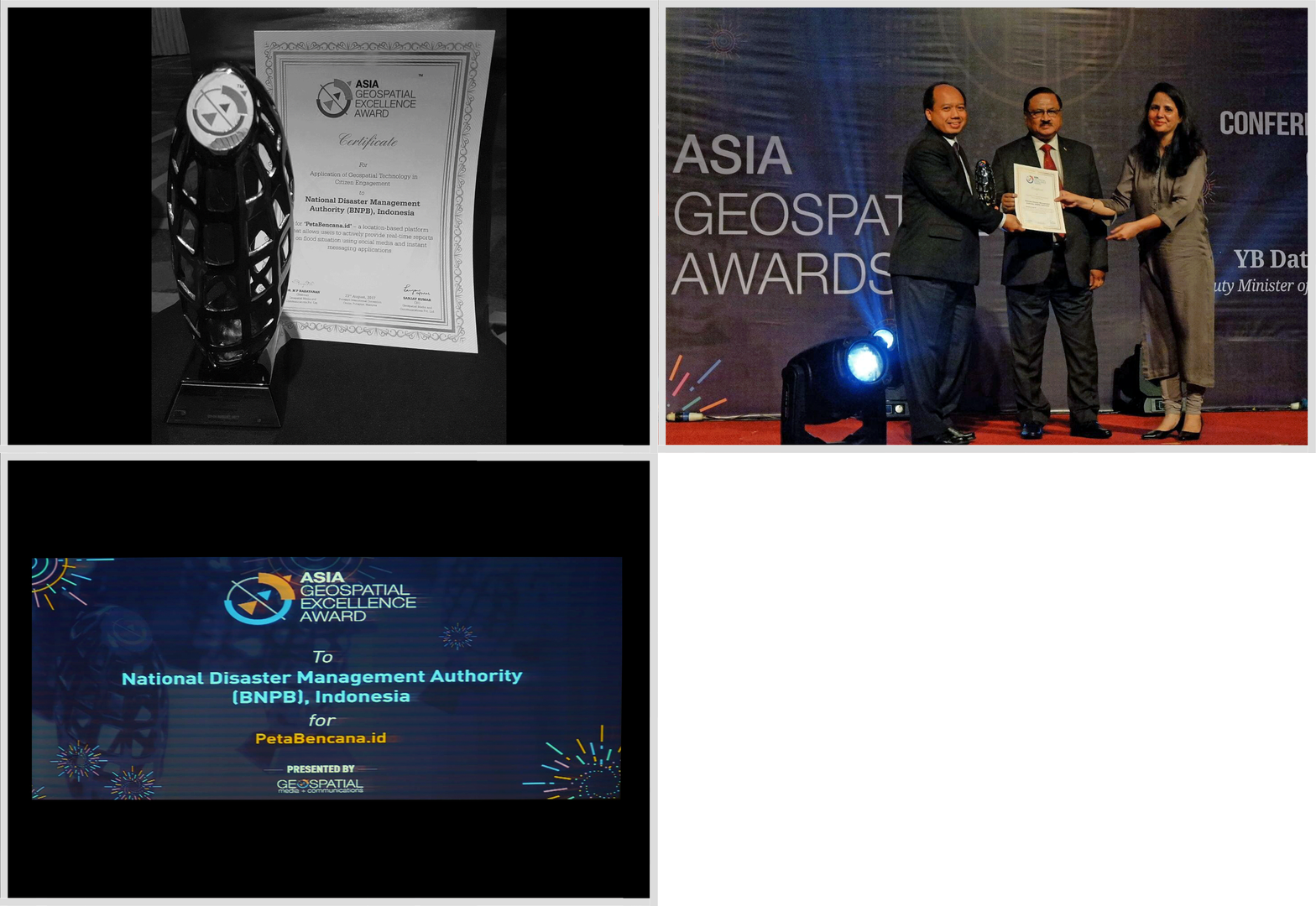
![]() . Our Jury believes that National Disaster Management Authority’s project PetaBencana.id demonstrates the power of geospatial information and technology in impacting the lives of people at grassroots level and strengthening disaster preparedness, thereby highlighting its role as a tool in socio-economic development.
. Our Jury believes that National Disaster Management Authority’s project PetaBencana.id demonstrates the power of geospatial information and technology in impacting the lives of people at grassroots level and strengthening disaster preparedness, thereby highlighting its role as a tool in socio-economic development. ![]()
The National Disaster Management Agency of Indonesia (BNPB) received the 2017 Asia GeoSpatial Excellence Award for their implementation of PetaBencana.id. The award recognizes the application of geospatial technologies to strengthen resident engagement.
Jakarta Governor Endorses PetaBencana.id

![]() . Jakarta citizens, be cautious of flooded areas…Check the locations of flooded areas on PetaBencana.id…Here are some screenshots of yesterday’s flood, in the morning, afternoon, and evening.
. Jakarta citizens, be cautious of flooded areas…Check the locations of flooded areas on PetaBencana.id…Here are some screenshots of yesterday’s flood, in the morning, afternoon, and evening. ![]()
The governor of Jakarta, Basuki Tjahaja Purnama, posted annotated screen captures of Petabencana.id to his Instagram account during the 2017 monsoon season, calling for residents to check the map in order to stay informed. In a story about the Governor’s social media usage, MetroTV News described how emergency management agencies were able to respond to the flooding situation immediately because of the platform.
OECD features PetaBencana.id as a Case Study
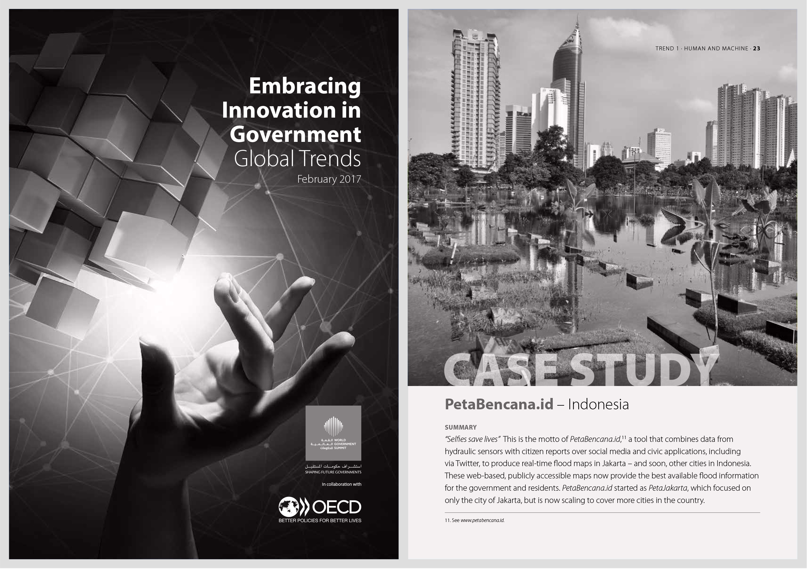
![]() . …since 2015, BNPB has used the platform as part of its daily emergency management operations, representing a breakthrough in information exchange with citizens.
. …since 2015, BNPB has used the platform as part of its daily emergency management operations, representing a breakthrough in information exchange with citizens. ![]()
PetaBencana.id is featured as a case study in OECD’s report on innovative governance practices. The report commends the unintrusive integration of the platform into the National Disaster Management Agency’s existing disaster risk management information ecosystem, representing a major advance on the agency’s previous information dissemination systems.
ODI Showcase Award
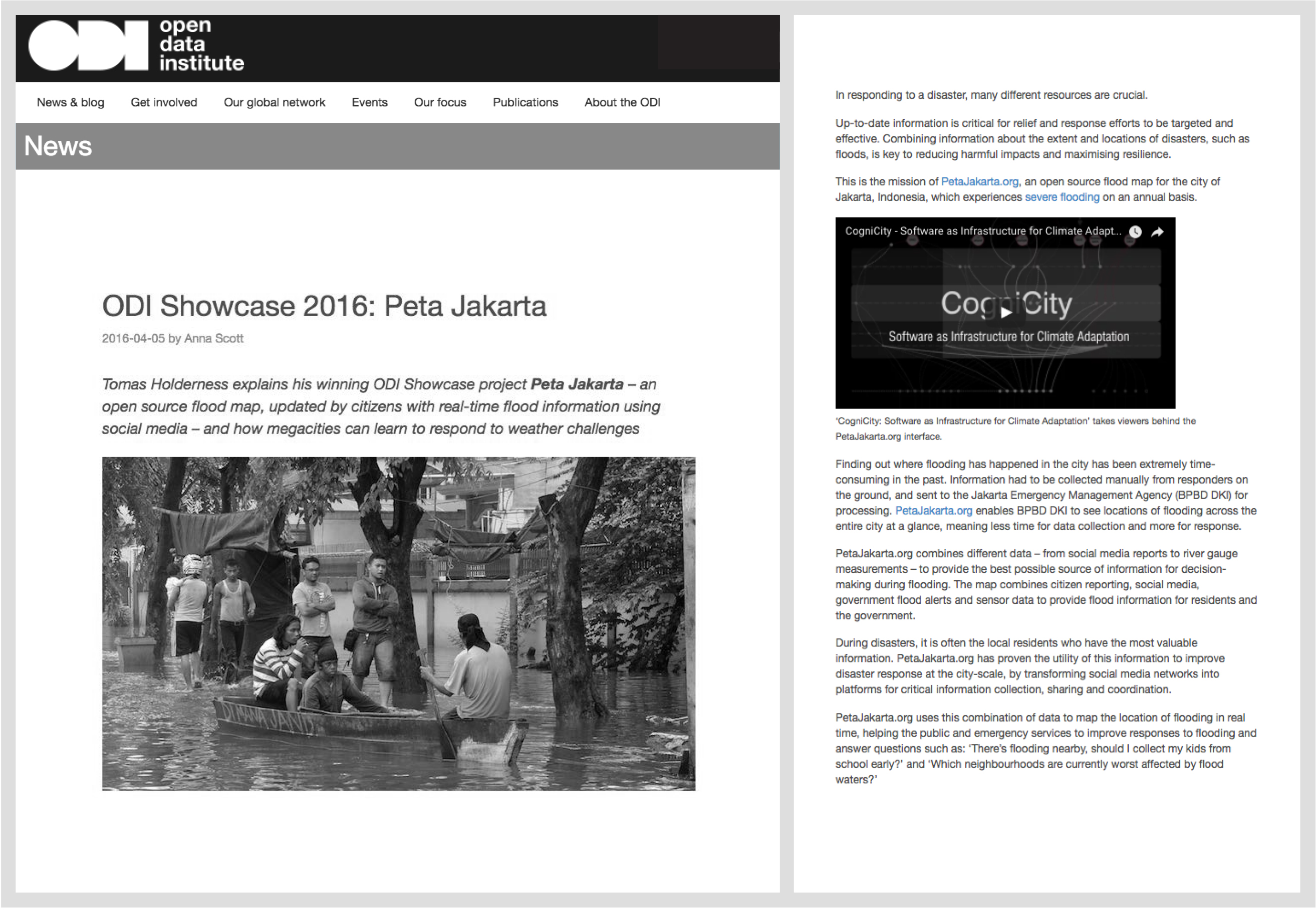
![]() . The map – and the software and data behind it – are shared openly, so can be integrated into systems from government agencies and NGOs tasked with responding to the flooding. This offers a practical solution for developing platforms of civic co-management in cities facing extreme weather events.
. The map – and the software and data behind it – are shared openly, so can be integrated into systems from government agencies and NGOs tasked with responding to the flooding. This offers a practical solution for developing platforms of civic co-management in cities facing extreme weather events. ![]()
The pilot project, PetaJakarta.org, was the recipient of the 2016 ODI Showcase Award. The award supports projects that demonstrate how open data can be used to benefit individuals, organisations, and society.
FCC Recommends the Project as a Model for Disaster Information Crowdsourcing
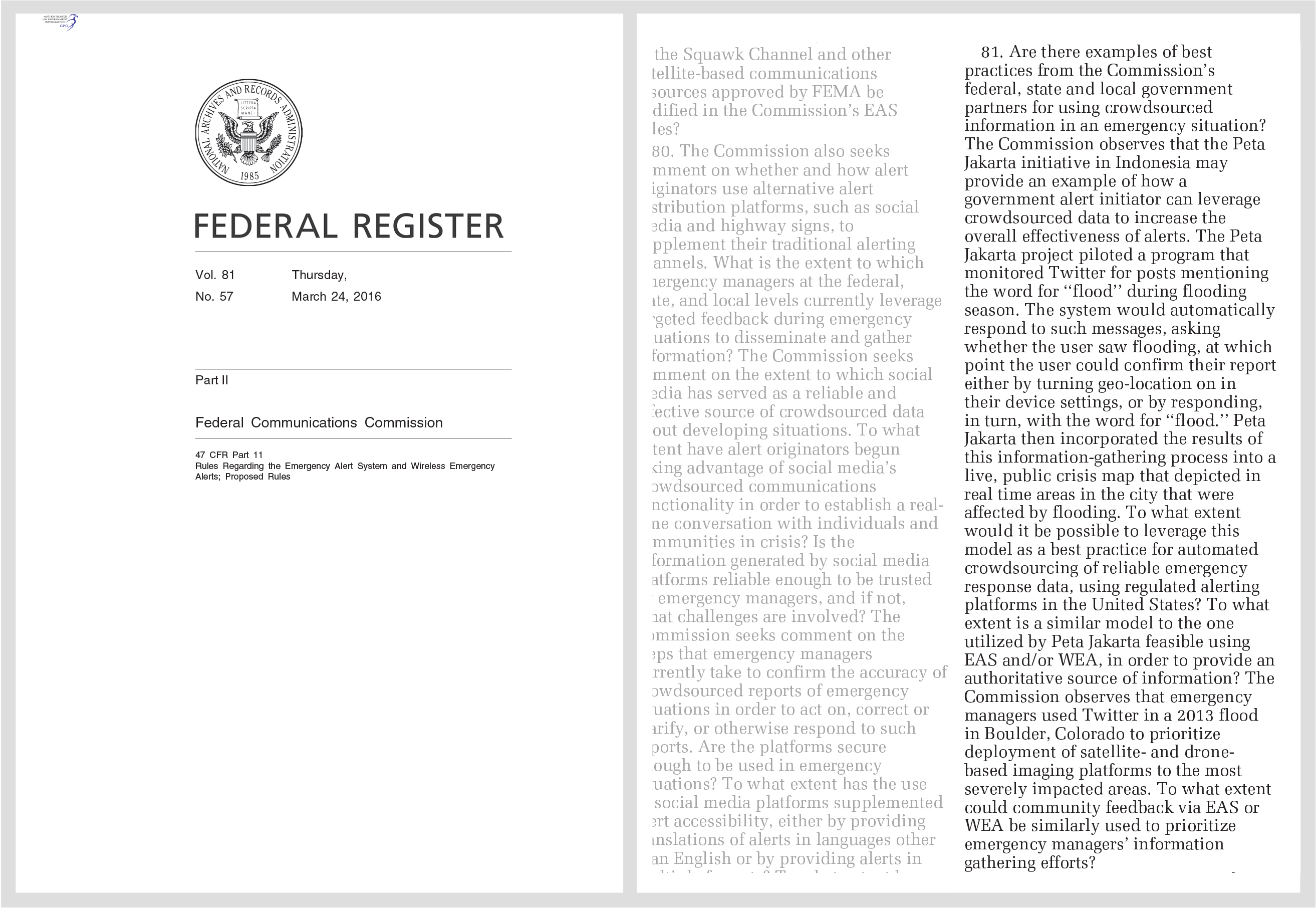
![]() . To what extent would it be possible to leverage this model as a best practice for automated crowdsourcing of reliable emergency response data, using regulated alerting platforms in the United States?
. To what extent would it be possible to leverage this model as a best practice for automated crowdsourcing of reliable emergency response data, using regulated alerting platforms in the United States? ![]()
In 2016, the Federal Communication Commission of the United States recommended the pilot project, PetaJakarta.org, as the best model for a new disaster information crowdsourcing platform.
The Guardian Media Feature
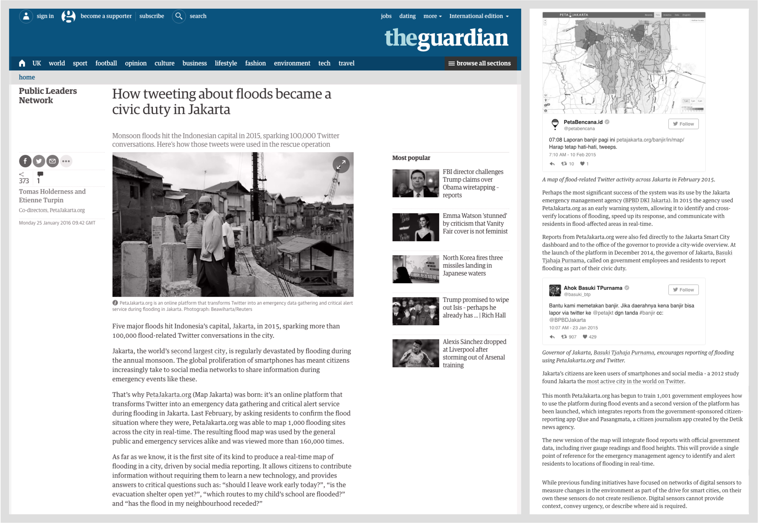
![]() . Perhaps the most significant success of the system was its use by the Jakarta emergency management agency (BPBD DKI Jakarta). In 2015 the agency used PetaJakarta.org as an early warning system, allowing it to identify and cross-verify locations of flooding, speed up its response, and communicate with residents in flood-affected areas in real-time.
. Perhaps the most significant success of the system was its use by the Jakarta emergency management agency (BPBD DKI Jakarta). In 2015 the agency used PetaJakarta.org as an early warning system, allowing it to identify and cross-verify locations of flooding, speed up its response, and communicate with residents in flood-affected areas in real-time. ![]()
In a Guardian op-ed for the Public Leaders Network, the project co-directors highlighted the success of PetaJakarta.org in enabling the Jakarta Emergency Management Agency to increase response times and share critical information with residents during flood events.
IFRC recommends the project as model for disaster response
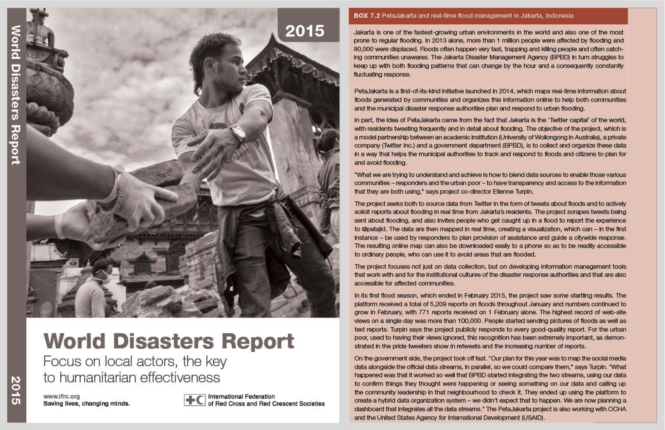
![]() . …a tool that responds to the way disasters actually unfold and the way people really react, rather than predicted or idealized projections of behaviour.
. …a tool that responds to the way disasters actually unfold and the way people really react, rather than predicted or idealized projections of behaviour. ![]()
The 2015 World Disasters Report recognizes the role that local actors play in emergency situations. The pilot project, PetaJakarta.org, was recommended as a model for empowering local actors and changing the nature of community-level disaster response.
Parliament of Australia Commends Project as Example of Best Practice
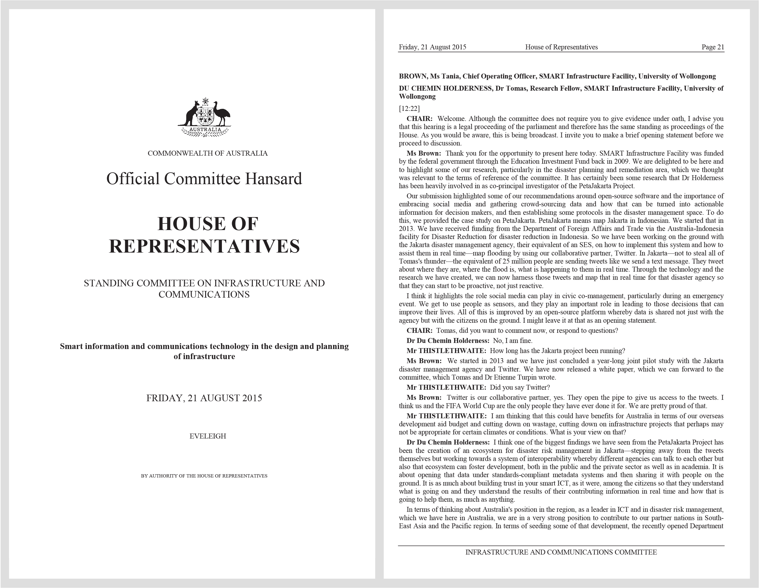
![]() . … when we talk about not just Australia but disaster management, knowing when and where the flood is going to reach and aligning that with the information that you could provide through Twitter and layer the two together, then the capability of managing disasters of a great variation would be very useful. That is why the issue around this type of technology, working across a number of fields, could be really useful.
. … when we talk about not just Australia but disaster management, knowing when and where the flood is going to reach and aligning that with the information that you could provide through Twitter and layer the two together, then the capability of managing disasters of a great variation would be very useful. That is why the issue around this type of technology, working across a number of fields, could be really useful. ![]()
In a deposition to the Standing Committee on Infrastructure and Communications of the Government of Australia, project co-director Dr. Tomas Holderness recommended PetaJakarta.org as model for transforming social media into actionable information for residents and decision makers. The project was commended for its ability to work and integrate data openly across multiple fields.
National Geographic Media Feature

![]() . PetaJakarta.org enables the residents of Jakarta to easily understand the locations of flooded areas…
. PetaJakarta.org enables the residents of Jakarta to easily understand the locations of flooded areas… ![]()
In an article titled “Now Jakarta Residents Can Know the Locations of Flooded Areas,” National Geographic Indonesia described how the platform has increased situational knowledge among residents and has become a tool for critical information sharing and dissemination in Jakarta.
Twitter #DataGrant
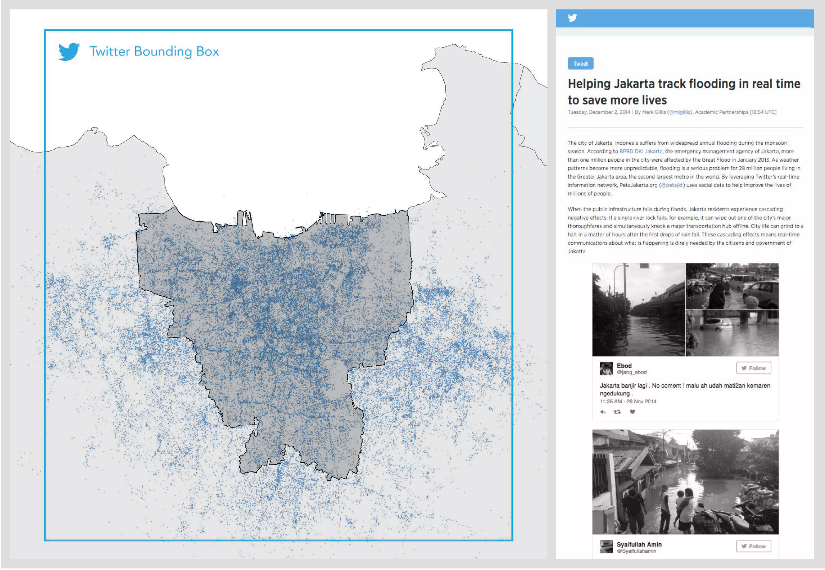
![]() . By leveraging Twitter’s real time information network, PetaJakarta.org uses social data to help improve the lives of millions of people.
. By leveraging Twitter’s real time information network, PetaJakarta.org uses social data to help improve the lives of millions of people. ![]()
In 2013, PetaJakarta.org was selected as one of six recipients of the first Twitter Data Grant. The competitive program was launched by Twitter to connect researchers with Twitter data for real-world applications. The Twitter Data Grant map visualizes flood-related Tweets across Jakarta between November 2013 and February 2014.
