On February 4th 2018, the Peta Bencana Foundation transformed the Fatahillah Square at Kota Tua (Old Town Jakarta) with an anamorphic street art installation. Located along the east bank of the Ciliwung river and surrounded by the Jakarta History Museum, Puppetry Museum, and Fine Art & Ceramics Museum, the square heavily fills up with residents, visitors, artisans, and jugglers on car-free-day Sunday mornings. Peta Bencana took this opportunity to meet with thousands of PetaBencana.id users, as well as to engage with new audiences and launch the second of a series of disaster preparedness events for the 2017/2018 monsoon season. (Read more about our first event here!)
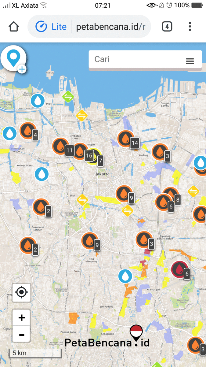
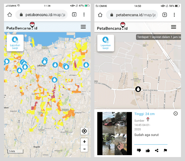
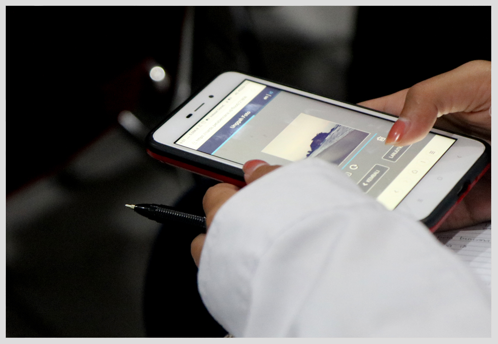
As passers-by stopped to take selfies with the street art installation, they were reminded to continue to share their selfies with PetaBencana.id during the monsoon season, and contribute to real-time community flood-mapping. PetaBencana.id gathers confirmed crowd-sourced reports about flooding from various social media channels and visualizes these on a free web-based map, so that everyone has the information they need to stay safe and avoid danger during flood events. This information is shared with emergency management agencies, who are also able to update the map with time-critical flood-related information, creating a transparent two-way communication channel for everyone in the city. The Jakarta Emergency Management Agency (BPBD DKI Jakarta) also took this opportunity to spread awareness about their disaster management programs to the Car Free Day visitors.
We were excited to see thousands of residents engaging with community art to spread messages of awareness and solidarity in preparedness for the forthcoming monsoon. The installation demonstrated the effectiveness of art installations in communicating, reaching, and engaging a wide and varied demographic.
One visitor commented: “This is a great example of how community-based art can be used for disaster preparedness in a fun and engaging way. What a great community-building and teaching tool as well!”
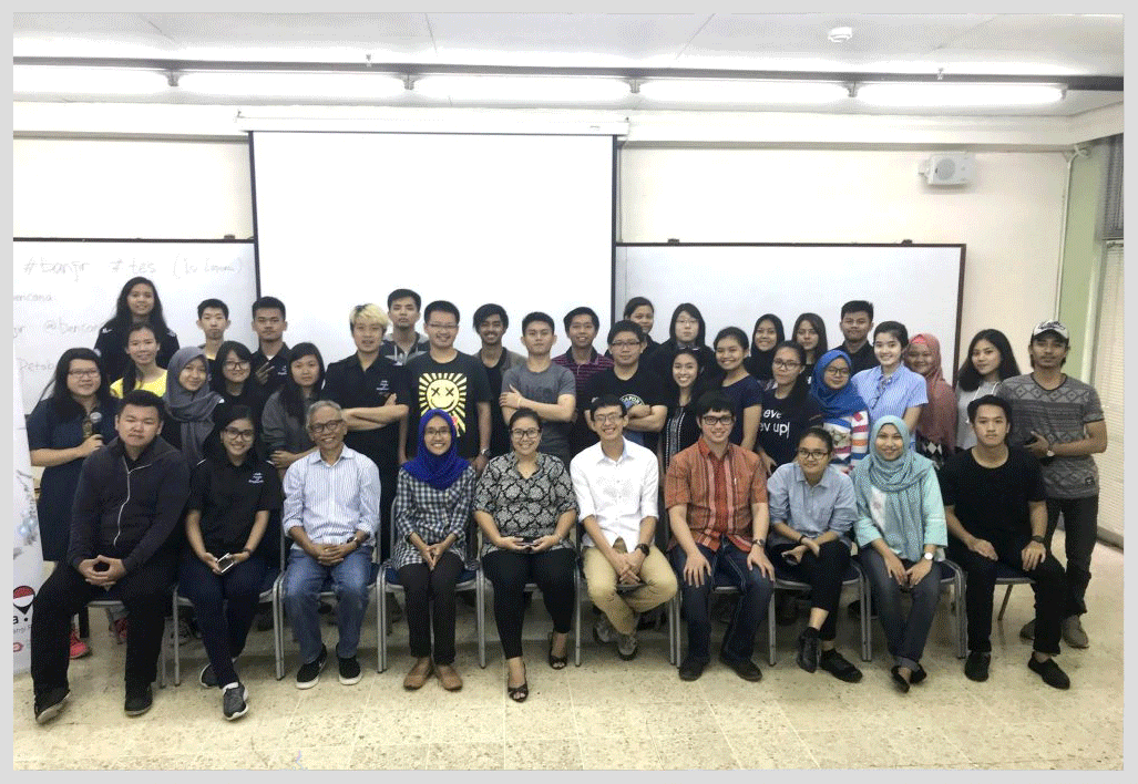
It was a great opportunity to hear the stories and experiences of the thousands of residents who already use PetaBencana.id, as well as to reach thousands of new users who expressed great interest in learning about the platform and displayed an enthusiasm towards adopting the platform to improve safety for the upcoming monsoon season. We were also encouraged by conversations with residents visiting from other cities in Indonesia, who expressed an eagerness to see the PetaBencana.id platform expand to their locations!
As the crowd collected and conversations grew, passers-by quickly displayed an increased enthusiasm as they begun to share their own stories and experiences of disaster preparedness.
Seeing the success of the combined power of the selfie, social media, and community-art installations in public spaces in supporting community-based resilience, we look forward to hosting the next event! Stay tuned to find out more!