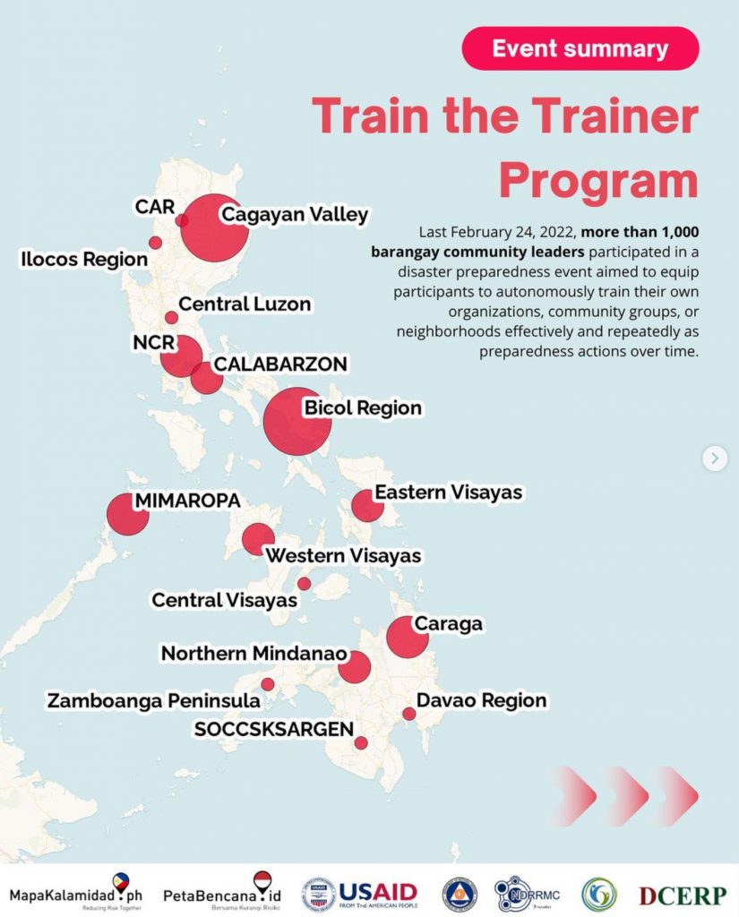
Yayasan Peta Bencana, supported by USAID BHA and endorsed by the Office of Civil Defense (OCD), conducted a nationwide disaster preparedness event with barangay community leaders from all over the Philippines!
Attended by more than a thousand barangay community leaders, participants simulated real-time disaster information sharing via the MapaKalamidad.ph platform. MapaKalamidad.ph is a free and open-source platform that provides real-time disaster information and transparent communication between residents and government agencies, to reduce risk and increase emergency response times during the sudden onset of disasters. The online platform harnesses the use of social media to crowdsource disaster information from residents on the ground, who often have the most up-to-date information, and displays this information on a live web-based map.
An average of 20 typhoons per year enter the Philippine area of responsibility. In 2021, the country was struck by a total of 22 storms, 9 typhoons, and 5 super typhoons. The most recent one, Typhoon Odette, strengthened from category 1 to 5 in just one day making it difficult, if not impossible, for people to prepare. As the rapid intensification of storms becomes more common due to climate change, real-time information is increasingly becoming the most important resource to understand and respond to rapidly changing situations.
In the Philippines, millions of residents already actively share real-time updates through their social media networks. However, there is currently no central platform wherein these real-time posts or reports are being gathered, sorted, and geospatially related, for easy access and public viewing. This is the gap that MapaKalamidad.ph fills–the platform deploys AI-assisted “humanitarian chatbots” to automatically respond to disaster-related social media posts, and asks users to confirm their situation by submitting a disaster report. Verified reports are displayed on a data light, mobile-centric, web-based map that is available to all residents, disaster managers, and emergency responders to allow them to view and share real-time flood information and make timely decisions to reduce risk.
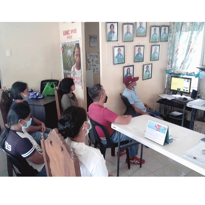
As a community-led disaster information sharing platform, MapaKalamidad.ph is developed through collaboration and sustained engagement with the widest variety of stakeholders. On Thursday, February 24th, MapaKalamidad.ph’s disaster preparedness event invited barangay leaders to participate in a live demonstration that exemplified how crowdsourced information collected via MapaKalamidad.ph could be leveraged to support response in their areas of responsibility. Barangay leaders participated in a “train the trainer” activity, aimed to equip participants to autonomously train their own organizations, community groups, or neighborhoods effectively and repeatedly as preparedness actions over time.
Disaster reports submitted to MapaKalamidad.ph are also pivotal to help emergency managers better understand and respond to on-the-ground situations. Data collected by MapaKalamidad.ph is automatically integrated into OCD’s PhilAWARE Disaster Monitoring platform. According to Joseph Curry, from USAID BHA, “In the true spirit of bayanihan, MapaKalamidad.ph gives us a tool that everyone can use together in disaster response, potentially connecting every barangay right to the top.”