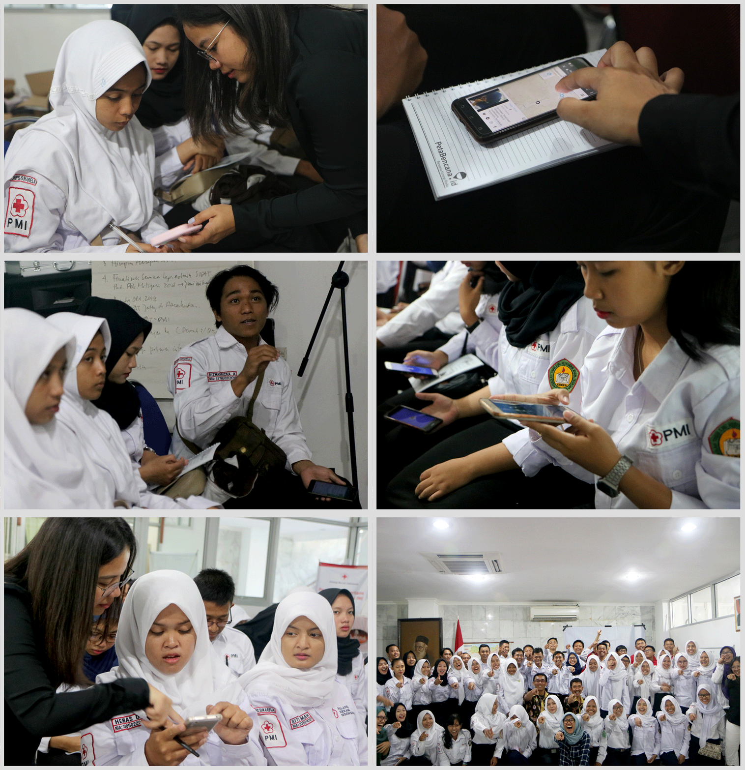
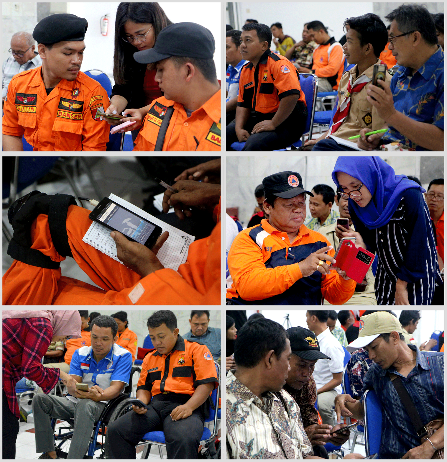
Yayasan Peta Bencana, supported by USAID BHA and endorsed by Indonesian National Board for Disaster Management (BNPB) and the Office of Civil Defense (OCD), officially launched a regional disaster risk reduction youth program for Indonesia and the Philippines. As more frequently occurring extreme weather events continue to strike both countries, young leaders expressed their solidarity and commitment to reducing risk with the hashtags #Youth4GotongRoyong and #Youth4Bayanihan. The launch was opened by Dr. Raditya Jati, Deputy of Systems and Strategy of BNPB, Usec Ricardo B. Jalad, Executive director of the National Disaster Risk Reduction and Management Council (NDRRMC) and administrator of the OCD, and Mr. Harlan Hale, Regional Advisor of USAID BHA, who welcomed hundreds of youth and over 60 community organizations attending the online opening.
Led by the conviction that mitigating disaster risk must involve all residents, the youth ambassador program commits to amplifying the agency of young people all across the region so that they can equally participate in disaster recovery efforts and make informed and safe decisions for themselves and their communities during emergencies. Half of the world’s population are youth under the age of 30, and they are often the first and most affected when weather related disasters strike. According to the 2020 World Disasters Report, Indonesia and the Philippines are among the most vulnerable to weather related disasters and it is inevitable that the countries will continue to experience an increase in extreme weather. To cope with the increasing frequency and severity of weather-related events, experts emphasize the necessity to focus efforts on adaptation; minimizing exposure and vulnerability by increasing capacities forresidents to respond to shocks, which must necessarily include the most vulnerable groups.
